How It Works
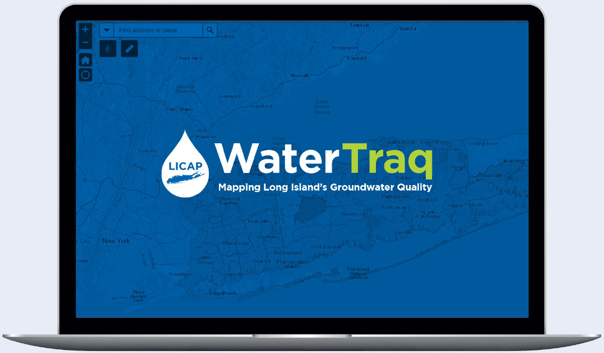
WaterTraq, the first program of its kind in New York State, allows public water suppliers and the public to track potential threats to groundwater. The programs uses interactive maps to display water quality at any given area on Long Island.
Users can set search parameters allowing them to look up specific contaminant levels for lead, iron, volatile organic compounds, nitrate and other chemical constituents. WaterTraq also allows the user overlay topography, boundaries and contours to show the depth to groundwater. The public can view test results for either raw groundwater or the treated water that is supplied to the taps of Long Island residents.

